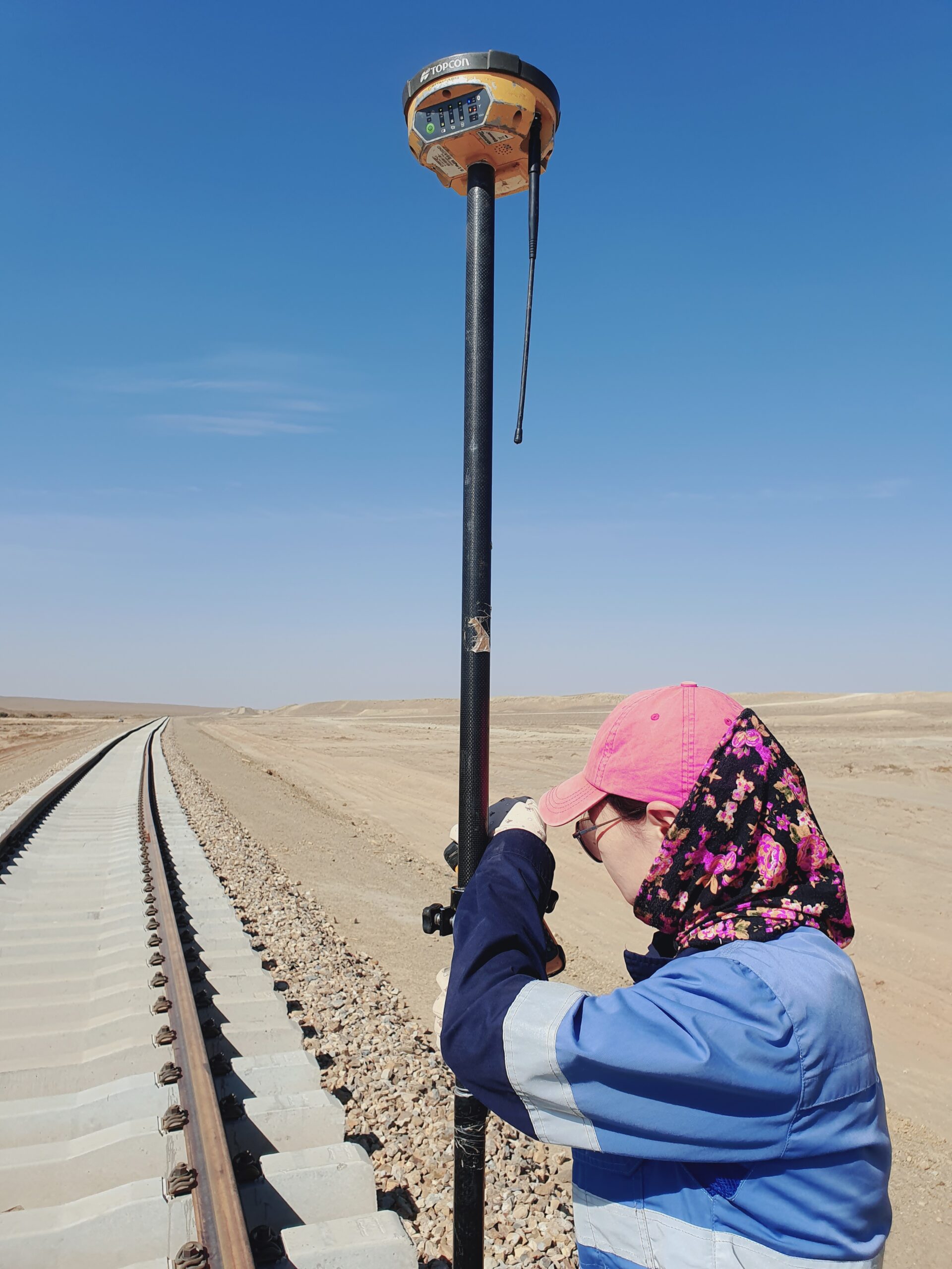
– Establishment, surveying, and processing of Positioning and Levelling Reference Network
– Digital topographic mapping at 1: 200, 1:500, 1:1000, 1:2000, 1:5000 scale
– Digital topographic mapping, identification, and Geo-referencing at 1:10000, 1:25000, 1:100000 scale.
– Geodetic surveying and mapping for construction, road, bridge, dumb, power and communication line, mining and geological prospecting
– Setting out points and line on the ground according to the planning.
– Processing of aerial and satellite images.
– Various scale topographic mapping using UAV, creating ortophotos and 3D DTM
– Geodetic monitoring surveying and mapping during construction work of infrastructure development
– Creating various Database
– Cadastral surveying and mapping