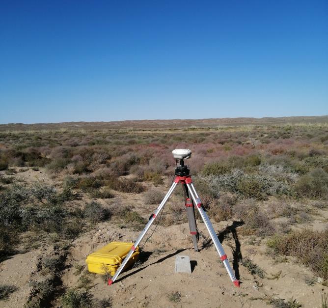
Topographic mapping at 1:1000 sacle. /13 soums of Sukhbaatar aimag, and 4 soums of Bulgan aimag 2014-2016 using UAV technology/
Land cadastre database editing, creating parcel ID file. /13 soums of Sukhbaatar aimag, and 4 soums of Bulgan aimag 2014-2016/
4th order leveling on the 450km route for “Altanbulag-Ulaanbaatar-Zamiin uud” expressway project /subcontractor of Geomaster LLC, 2014/