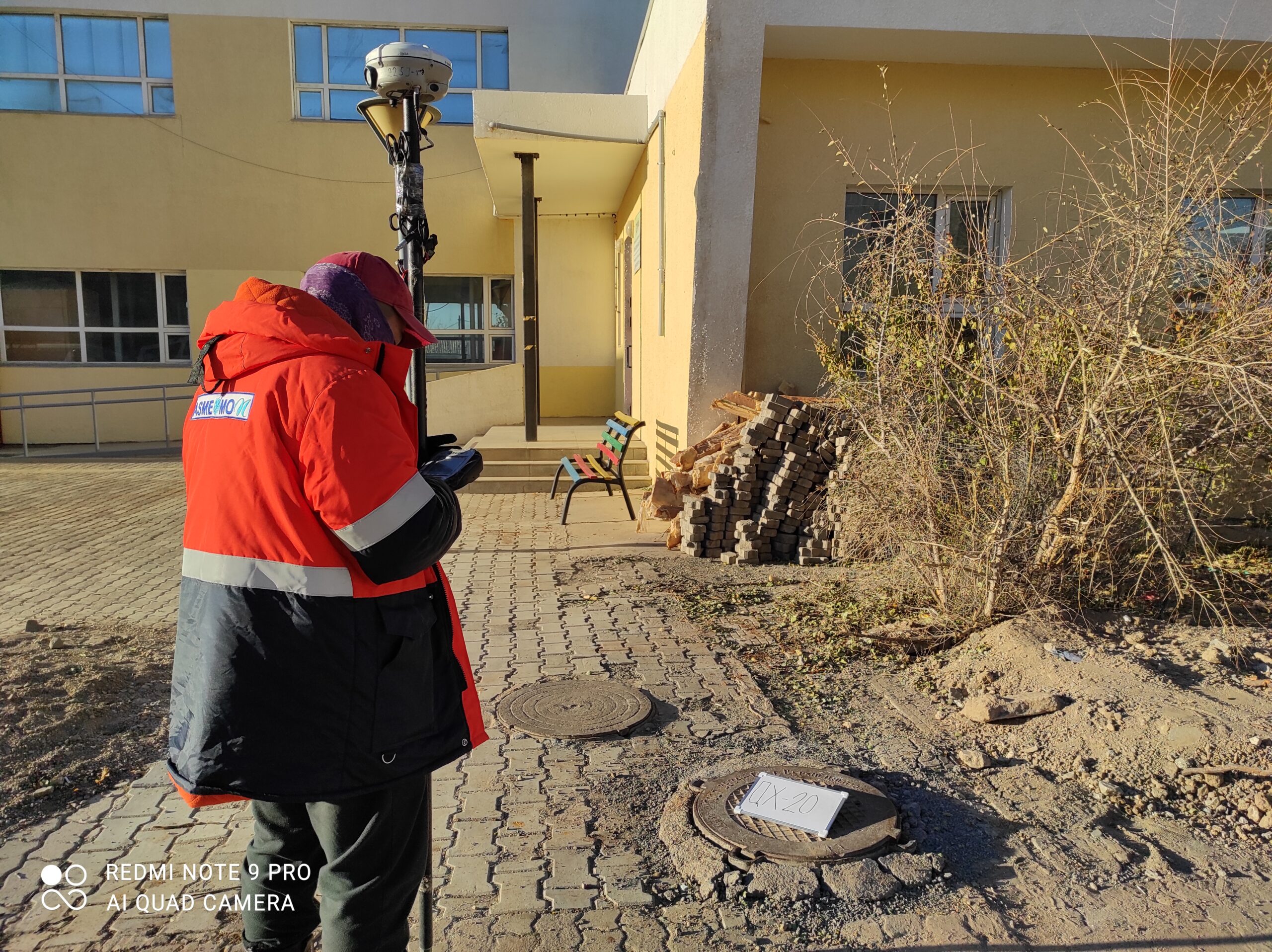
Digital mapping and surveying along fiber glass cable (2000 km)
Cadastral survey and land registration supported by Mongolian government agency “Administration of Land Affairs, Geodesy and Cartography” / ADB /
• Cadastral survey with 1:1000 scale in Erdenet city / 5100 ha area, 6000 parcels, 2007/.
• Cadastral survey with 1:1000 scale in 14 soums of Hentii and Gobisumber aimags. /76878 ha area, 4300 parcels, 2008/.
• Cadastral survey with 1:1000 scale in 20 soums of Zavhan, Uvs and Khovd aimags /110 000 ha area, 10000 parcels, 2009/
GPS ground control network establsihment, observation, and post processing, and digital topographic surveying and mapping at 1 :1000 scale along new railway alignment of Tavan tolgoi- uunbayan, Sainshand –Baruun urt-Choibalsan / 15040 ha, 2011 /