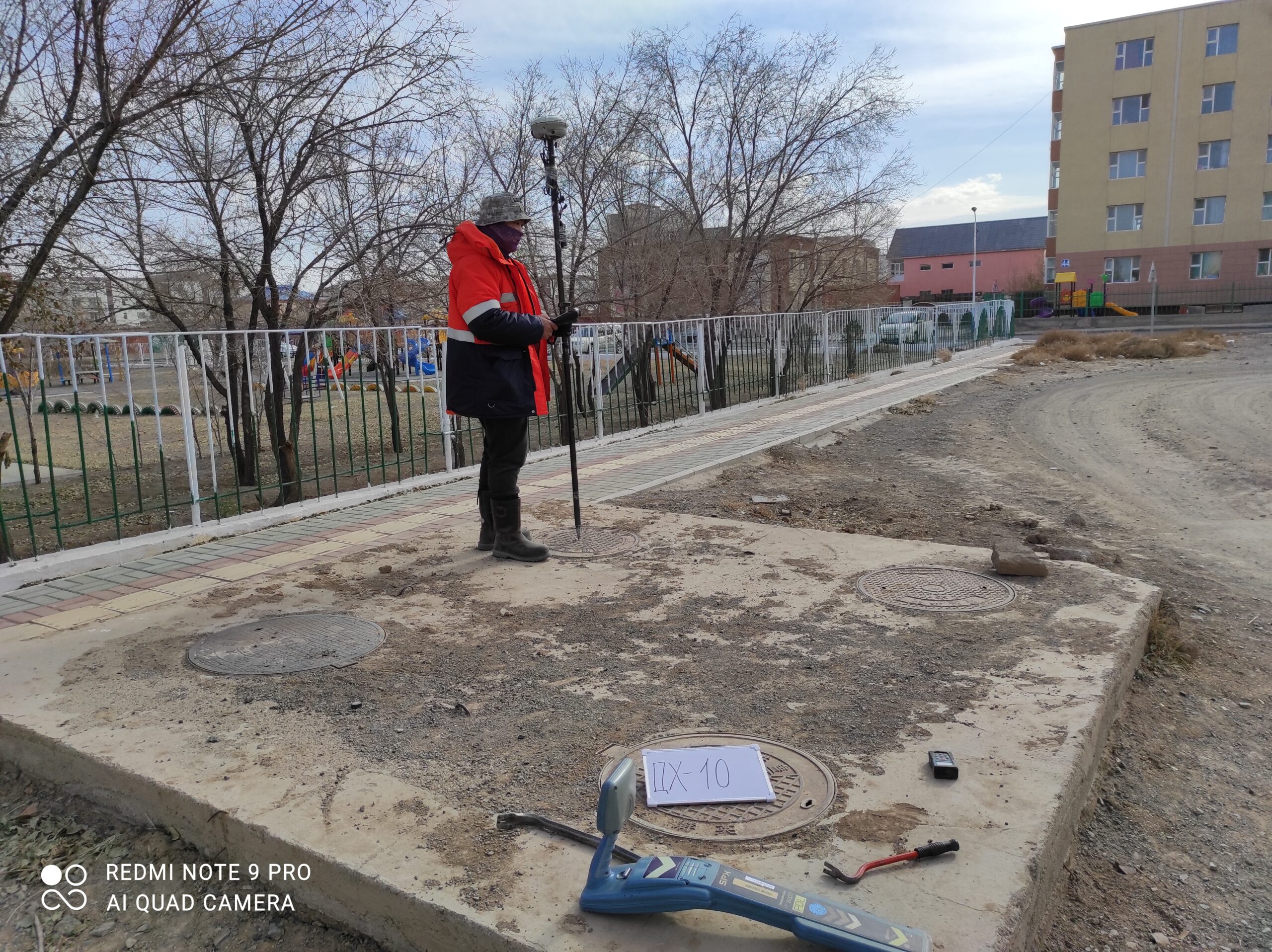
Resurvey and adjustment of National Reference network and establishment of 1 Gravimetric station in Orkhon aimag /192 km 2nd order leveling , 121 GPS station resurvey, 2019/
Land cadastre database update, survey, and to create e-file of parcels, and to maintain topology error, and to reporting on current status of each parcels
/ in 3 districts of Nalaikh, Chingeltei, and Songinokhairkhan.2018-2020/